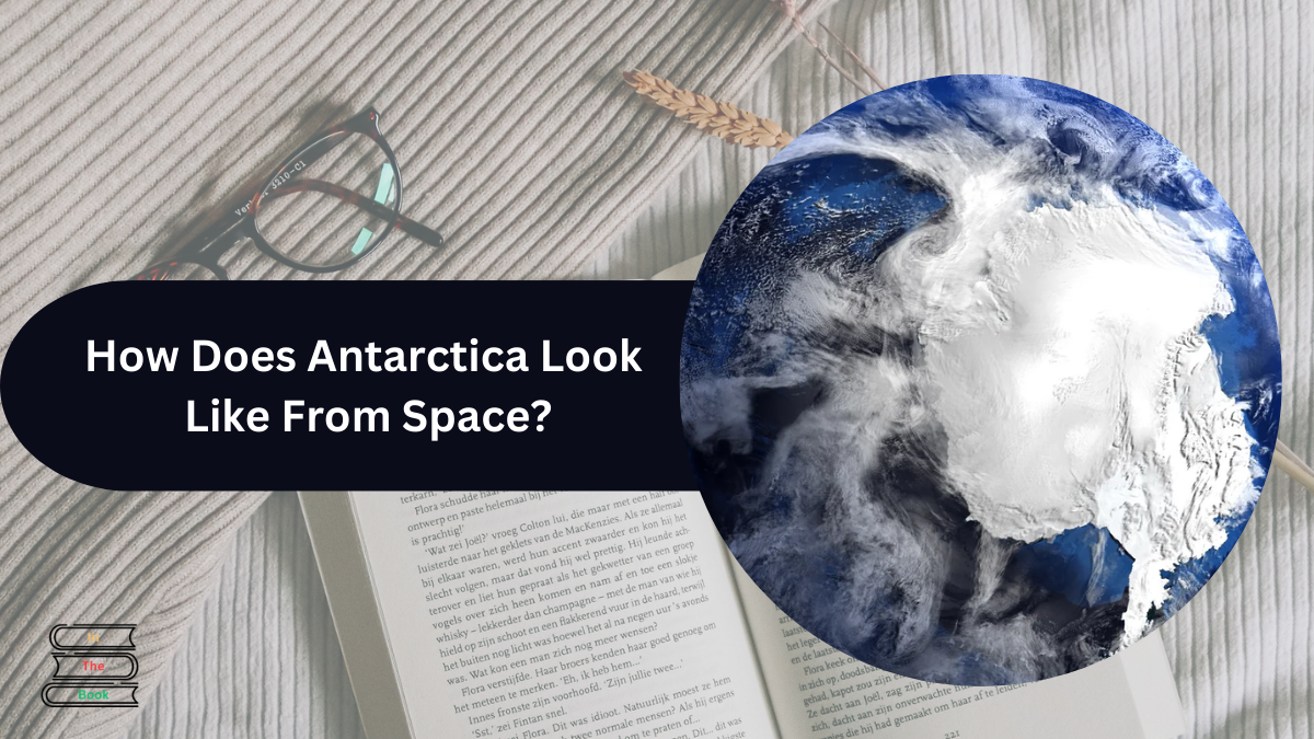
Antarctica, situated at the southern tip of our planet, is known for its amazing icy landscapes and unique fauna. The cold weather and vast ice sheets make it distinctive from others.
Thanks to the rapid advancements in scientific technology, we can now see clear and detailed photos of Antarctica from space.
One can see clear and detailed photos of Antarctica from space. This will also help scientists with research purposes to study ice patterns, track animals, and monitor environmental changes.
The photos of Antarctica from space help us see every smallest change taking place in Antarctica. It allows us to see Antarctica from different points of view.
Scientists can now study the giant and impressive snowy fields, icy shelves, and glaciers that extend for miles in Antarctica.

Contents
Brunt Ice Shelf: Iceberg A-81
In 2019, NASA noticed cracks in the Antarctica ice shelf. By 2021, a huge iceberg about twice the size of New York City was still attached to the ice-shelf.
Finally, on Jan 22, 2023, it came out from the Antarctica ice shelf. During winters, the water around Antarctica freezes, making it look twice as big. However, in summer, ice is broken into floating pieces.
“Pyramid” in Antarctica’s Heritage Mountain Range
In 2016, the Pyramid found in Antarctica was an interesting topic to talk about for many people. However, CBS News claimed it was a mountain that looked like a Pyramid.
Antarctica from space teachings
The photos of Antarctica from space also gave us a glimpse of Volcano Erebus, one of the active volcanoes in Antarctica. It is not a powerful but interesting topic to look at.
The Landsat Image Mosaic of Antarctica (LIMA) showed Antarctica differently, allowing us to understand that there is still a lot more to discover.
The photos from space help us to observe glaciers, ice shelves, and sea ice so we can better understand climate changes, the environment, weather forecasting, and do more scientific research.
The way ice is melting, sea levels are rising, and changes influence the global climate gives a deeper understanding of climate change and its impact on the planet.
The photos of Antarctica from space helped scientists and researchers check the health of Antarctica’s ecosystem.
- They observe wildlife populations and keep track of fluctuations in numbers.
- Examine plants and their growth.
- Keep a check on population growth.
- Study how human activities are affecting the environment.
The photos of Antarctica from space help in weather forecasting. It includes carefully examining clouds, weather, and wind patterns in Antarctica.
It helps scientists and researchers choose a spot from which to collect most of the important information at once in future trip planning.
Conclusion
One should see Antarctica from space to have a clear image of how Antarctica looks and works.
The photos of Antarctica from space can deeply move anyone because of its landscapes, beautiful views, and mountains.
If Antarctica’s amazing landscapes and scientific findings fascinate you, then you should plan a trip to Antarctica.
You can check out the pages of NASA and the British Antarctic Survey for more authentic information.
If you had the chance to see The photos of Antarctica from space would you look for first ??
Click Here To Read More

Chandler is an avid automobile enthusiast who is passionate about all things on wheels. From the latest car models to classic vintage rides, I love exploring the automotive world’s intricate details and engineering marvels. With years of experience in test-driving, reviewing, and analyzing cars, I provide readers with comprehensive insights and honest opinions.


